
Irrigation/Utility As-built Maps and Documents
Irrigation/Utility As-built Maps and Documents

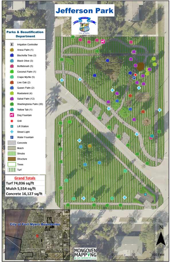
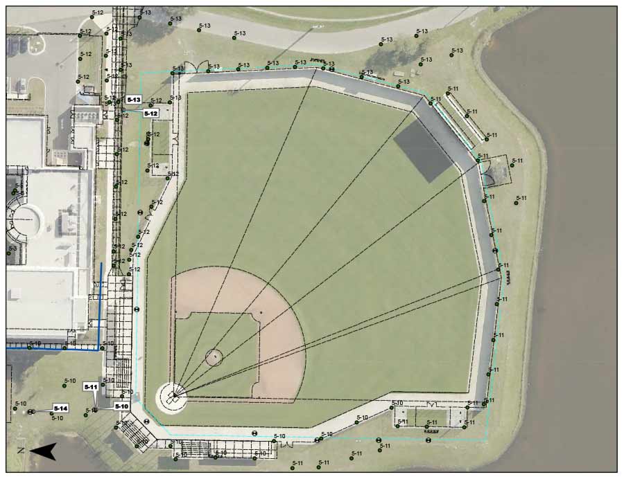
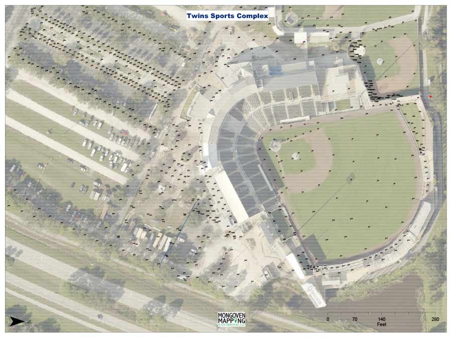
Irrigation as-built maps and documents related to new construction, upgraded irrigation systems and existing systems. We use a combination of location data collected in the field, cad plans and aerial images to provide outputs that meet the contractor’s obligations and are beneficial for the maintenance and operation of the irrigation systems going forward.
The format for the exported documents can be wall maps, field booklets, cad files, pdf files, spreadsheets and cloud based files that can be accessed utilizing the internet.
- Accuracy can be either sub-meter or decimeter grade GPS coordinates.
- Critical information can be displayed in a wide range of options that meet the customer’s needs.
- Symbology, labeling and layout can be standardized or unique depending upon the customer’s goals.