
GIS mapping for Government Organizations
Mapping for Government Organizations
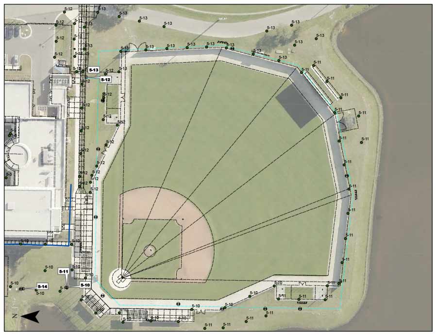
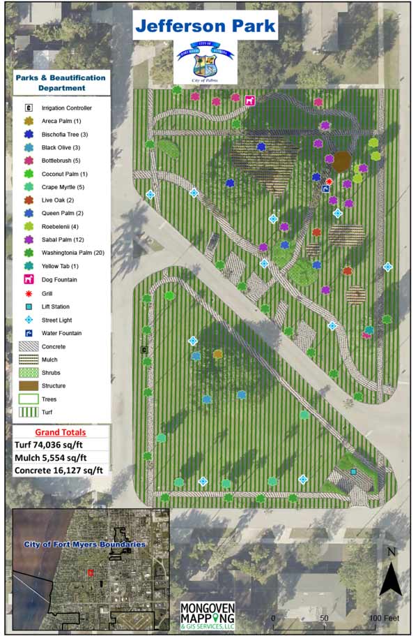
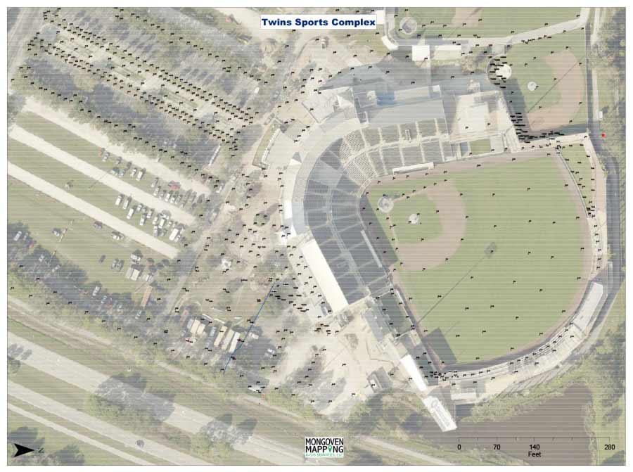
We have collected location data related to a variety of government needs utilizing highly accurate professional GPS equipment and a variety of programs/applications.
The data collected includes seawall conditions; bus stop inventories; park asset inventories.
We have also discussed mapping cemeteries; signs and other.
We have developed programs/applications/systems related to the collection of location data and the associated attribute information.
Reports can then be generated for routing staff; communicating with residents and administration; budgeting; forecasting and other decision making factors.
The critical information can be displayed in a wide range of options that meet the customer’s needs.
Symbology, labeling and layout can be standardized or unique depending upon the customer’s goals.