
Golf Course Irrigation and Operation Maps
Golf Course Irrigation and Operation Maps
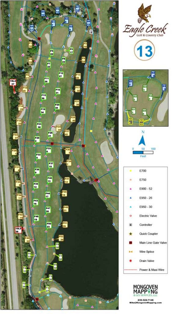
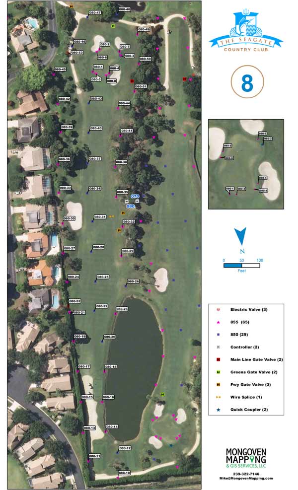
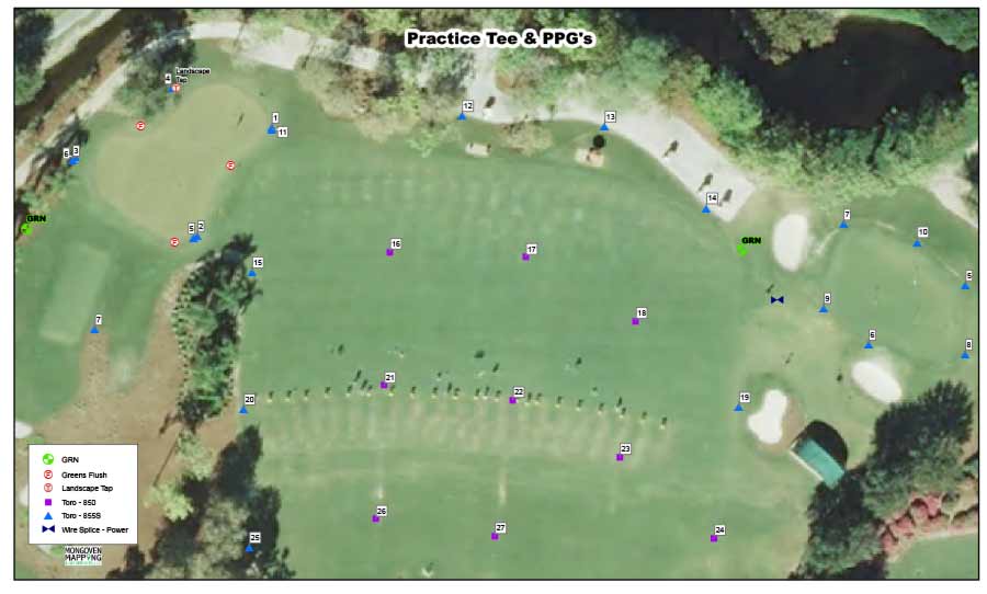
Irrigation system field books for use by the golf maintenance staff.
- The information displayed can vary depending upon the needs of the golf course superintendent.
- It can include station/head identification information; main line and wire path as well as other components such as ground rods, fuses, etc.
Irrigation and image files can be updated in irrigation computer control programs.
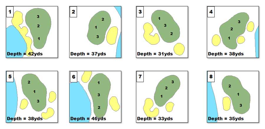
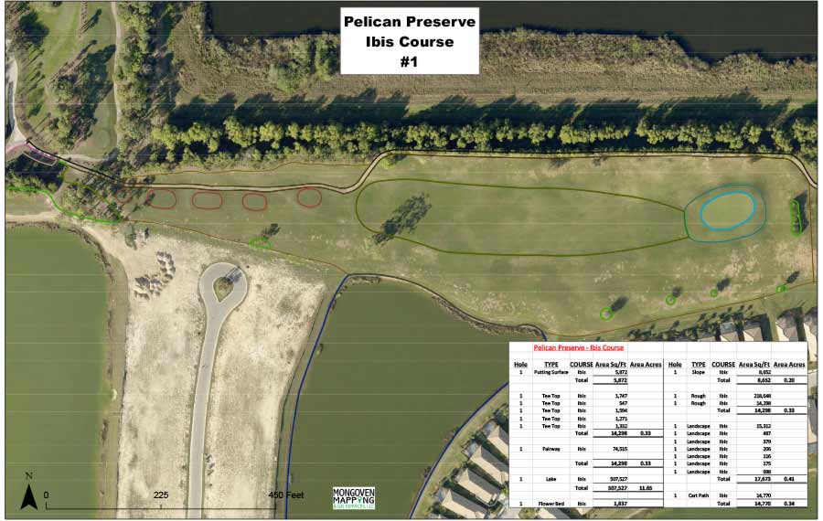
Golf course area maps with spreadsheets breading down the totals per course, nine holes, per hole and per area.
Updated aerial images can be mapped displayed in a variety of ways to meet the needs of the golf course superintendent.